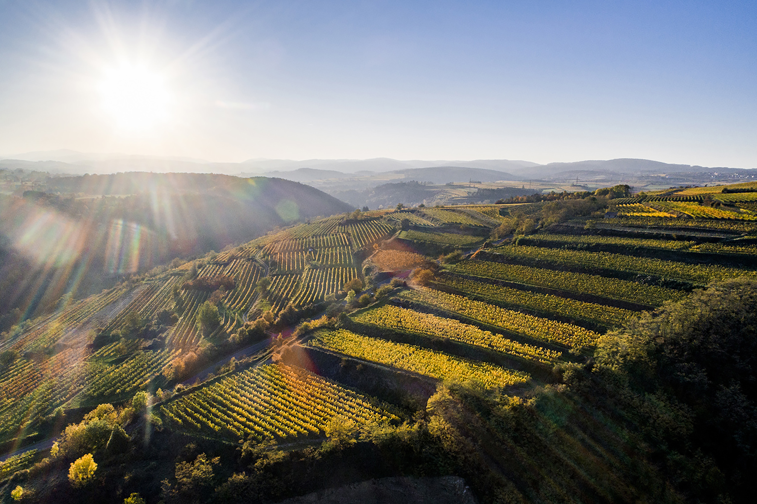
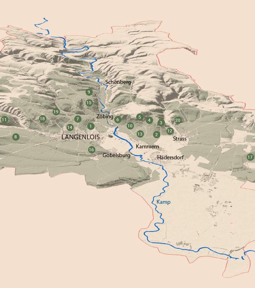
On its way down to the Danube plain, the region’s namesake river Kamp dug a deep valley into the highlands of the Waldviertel, dominated by soils of granite & gneiss. In its lower reaches, the valley gradually becomes wider and branches out; the undulating landscape gives way to plains, the forest to grapevines. Here, the Kamptal embraces a geological borderland. On the steep slopes, organised centuries ago into terraces, vines grow on the crystalline rock collection of the Bohemian Massif (gneiss, amphibolite, granite, mica schist & weathered soils). The slopes level off and gradually dip into the layers of loess – deposited through the ages by powerful dust storms – that preponderantly dominate the southern part of the winegrowing region.
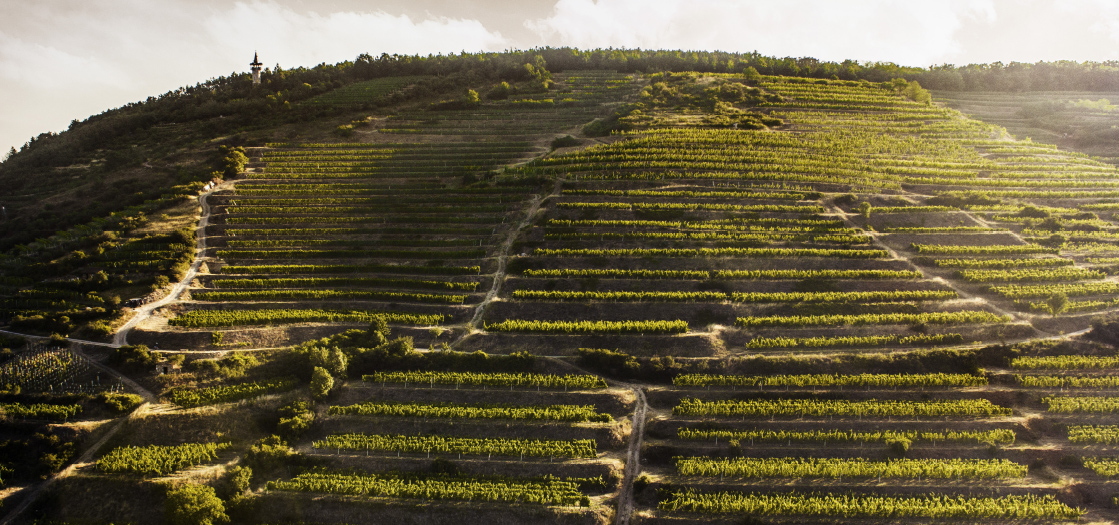 Heiligenstein
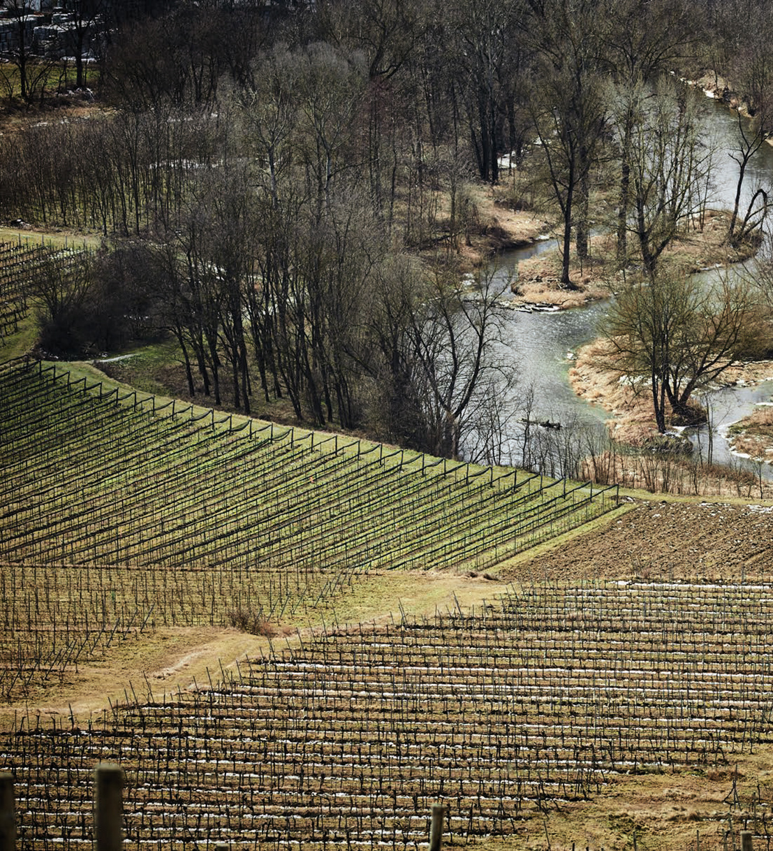 the Kamp river
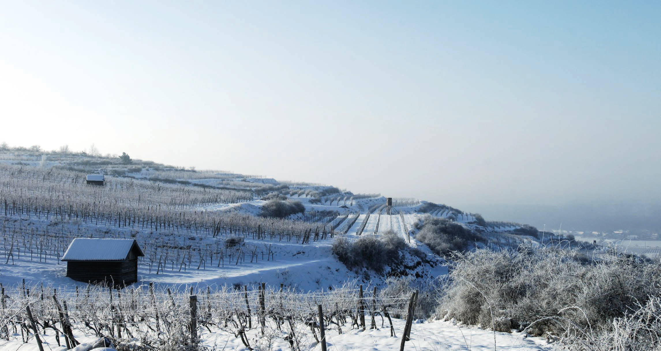 Terraces in winter
In the Kamptal one finds an enormous variety of different soil types within a very narrow area. In addition, there is a microclimate moulded by a notable zone of dynamic tension between warm days & cold nights. Cool air masses coming from the sylvan highlands in the northwest are typical for the area; these currents penetrate the valley after sunset and displace the Pannonian warmth, making the Kamptal one of Austria’s coolest winegrowing regions. Leading varieties Grüner Veltliner & Riesling account for the greatest areas under cultivation.
Profile Kamptal
• Hectares: 3900
• Important municipalities: Langenlois, Zöbing, Strass, Gobelsburg, Schönberg, Schiltern
• Important DAC varieties: Grüner Veltliner, Riesling
• Classified vineyards: 20 Erste Lagen
• Average hours of sunshine over the last ten years: 1734 h
• Average precipitation over the last ten years: 502 mm
• Average temperature: 9,2°C
A complete overview of the regions and the classified vineyard sites for download as PDF.
